07. July 2021
Kungsleden Day 17 - Tjäktjatjattja pass
Overview
Hiking duration: 6:47
KM: 25.22
Elevation gain in Meters: 599
Start: Next to Kuoperjåkka shelter
End: Under Bossosváráš
Morning
We slept pretty good, it was a bit a change of too hot -> getting out of the sleepingbag, then too cold -> getting in again… and so on :)
But in the morning the mosquitoes already waited for us. So we packed together as fast as possible and went to the emergency shelter to have breakfast.
Tent in the morning
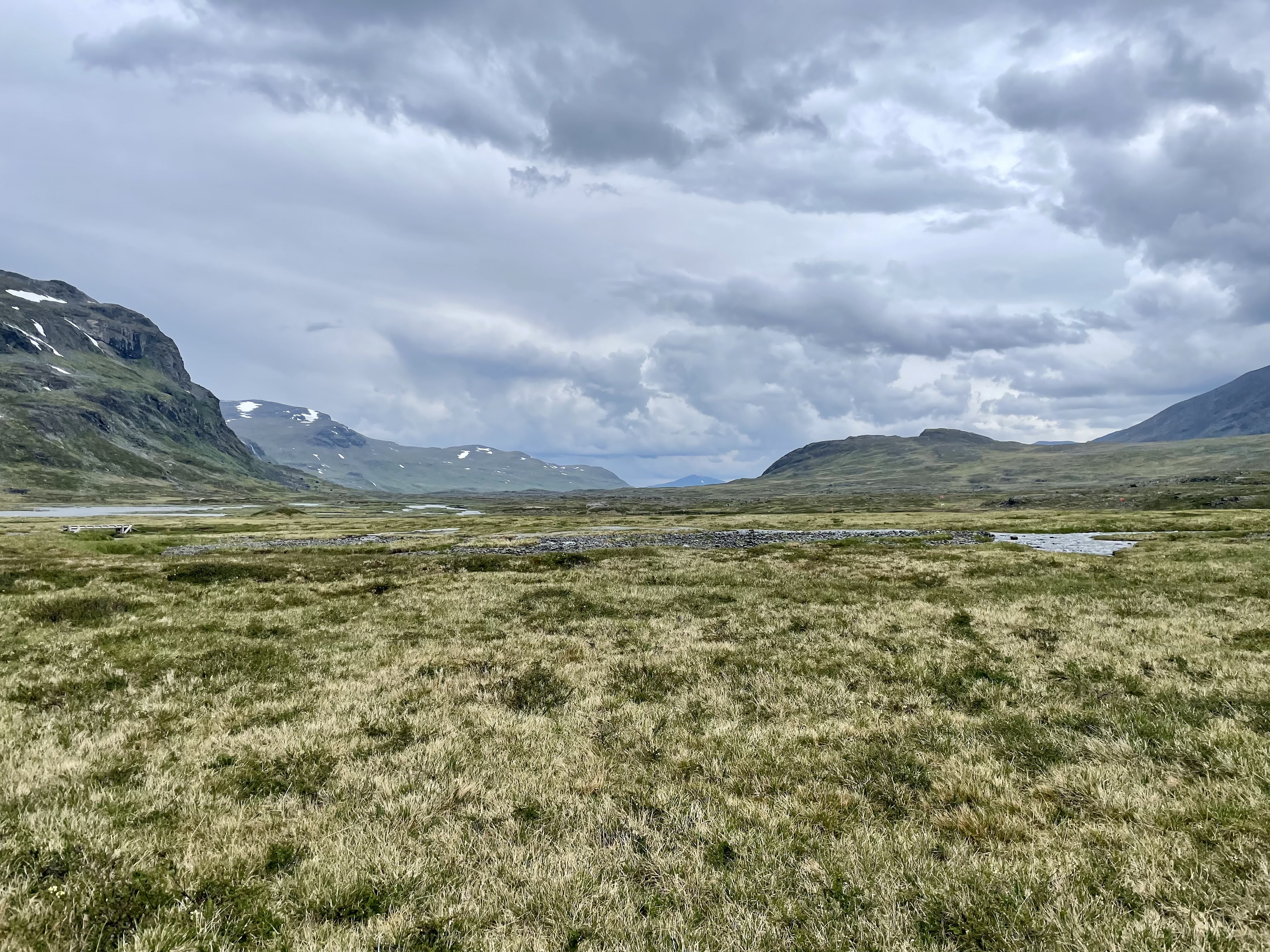
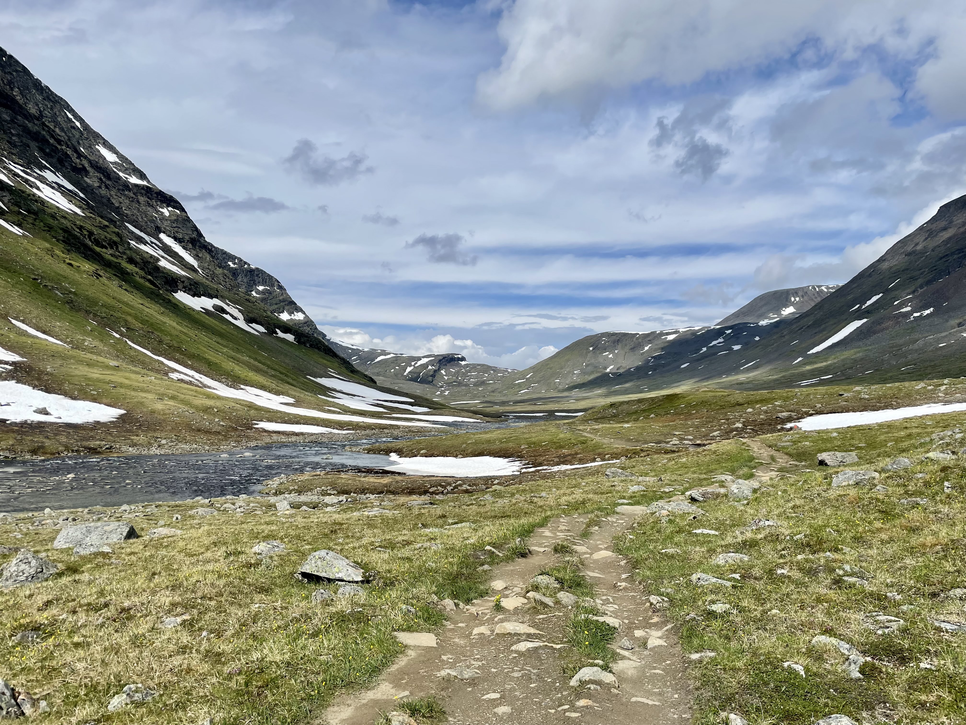
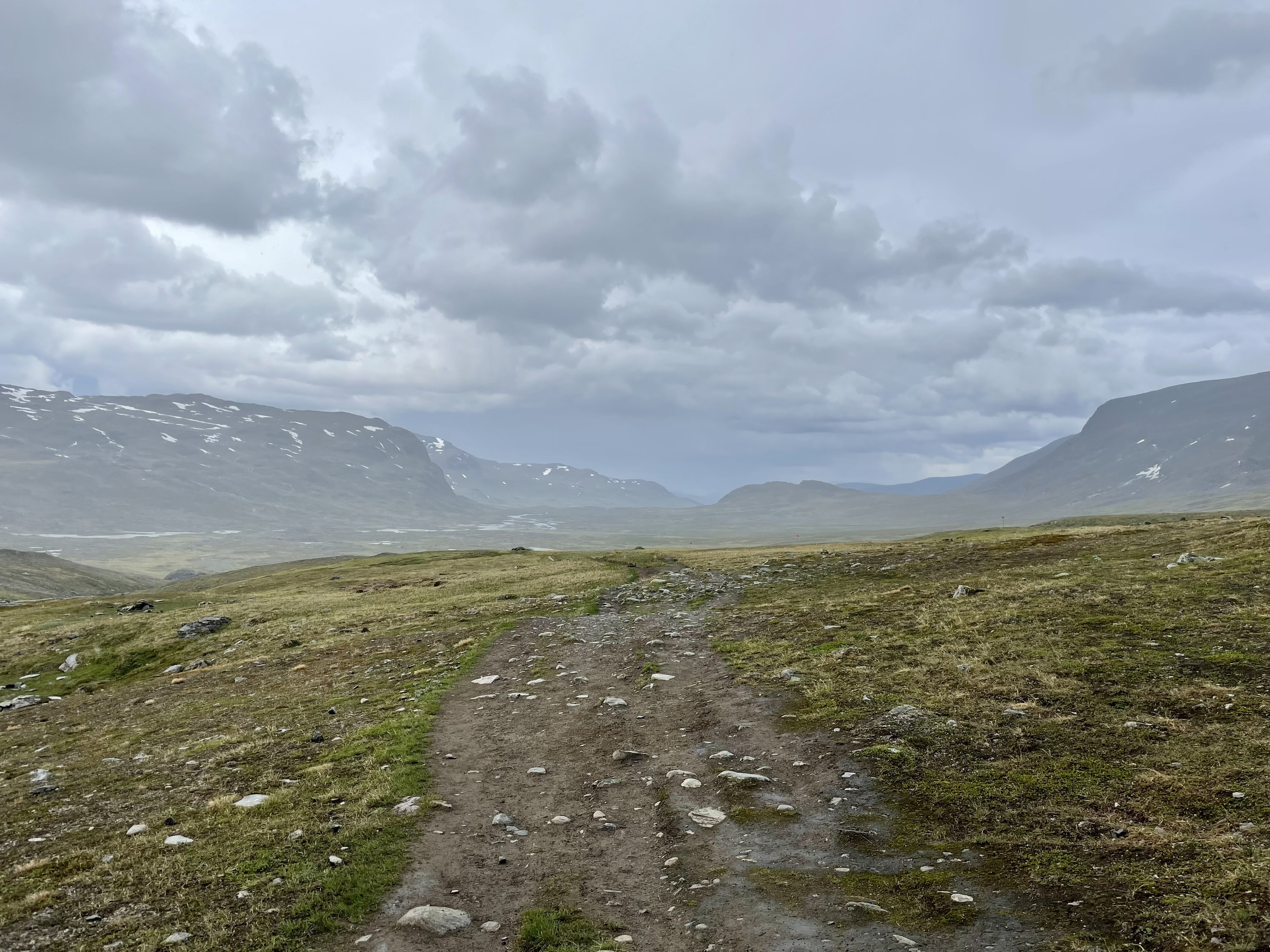
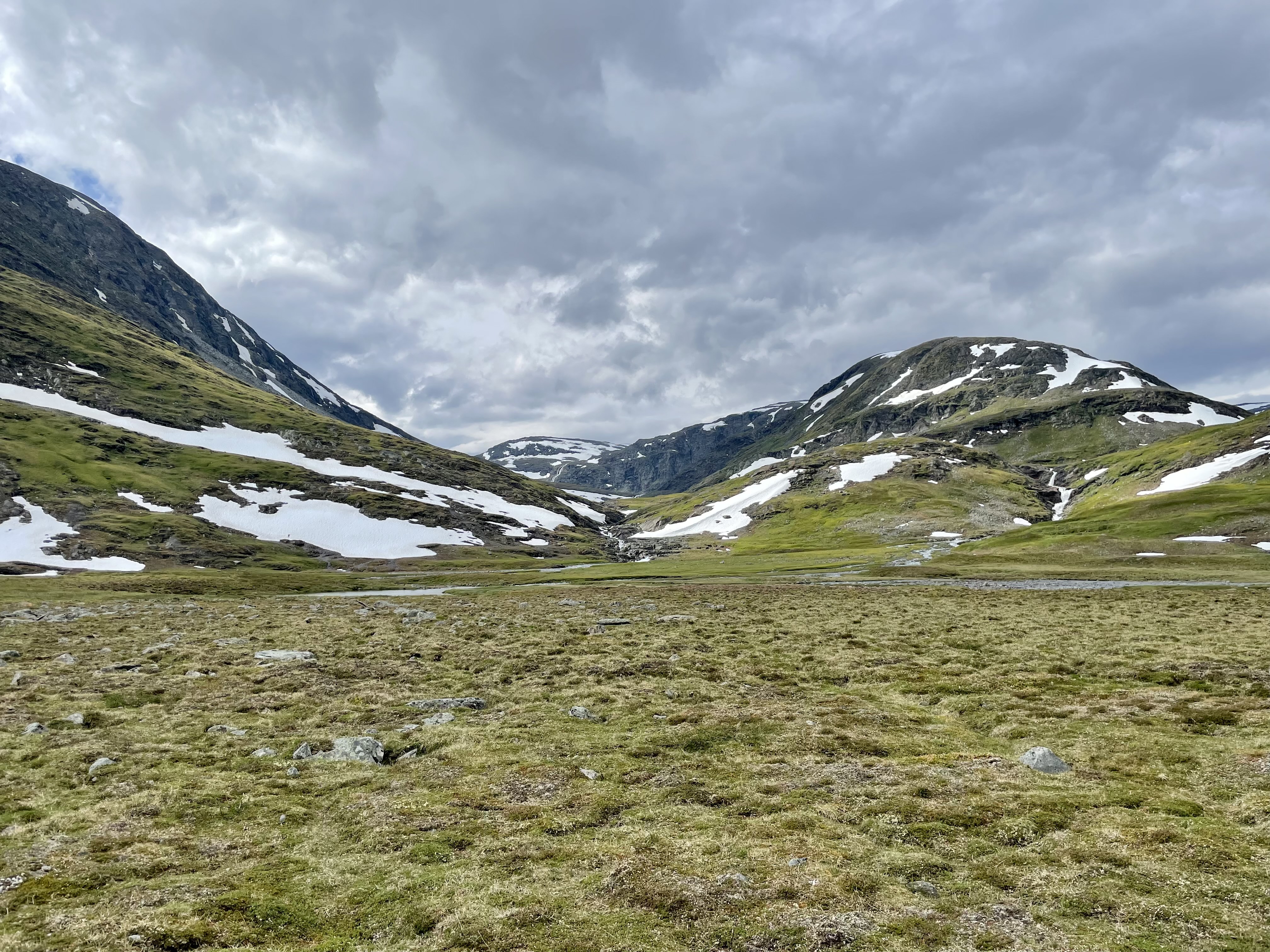
Then the hike in the valley continued, the views were really nice.
View of the valley
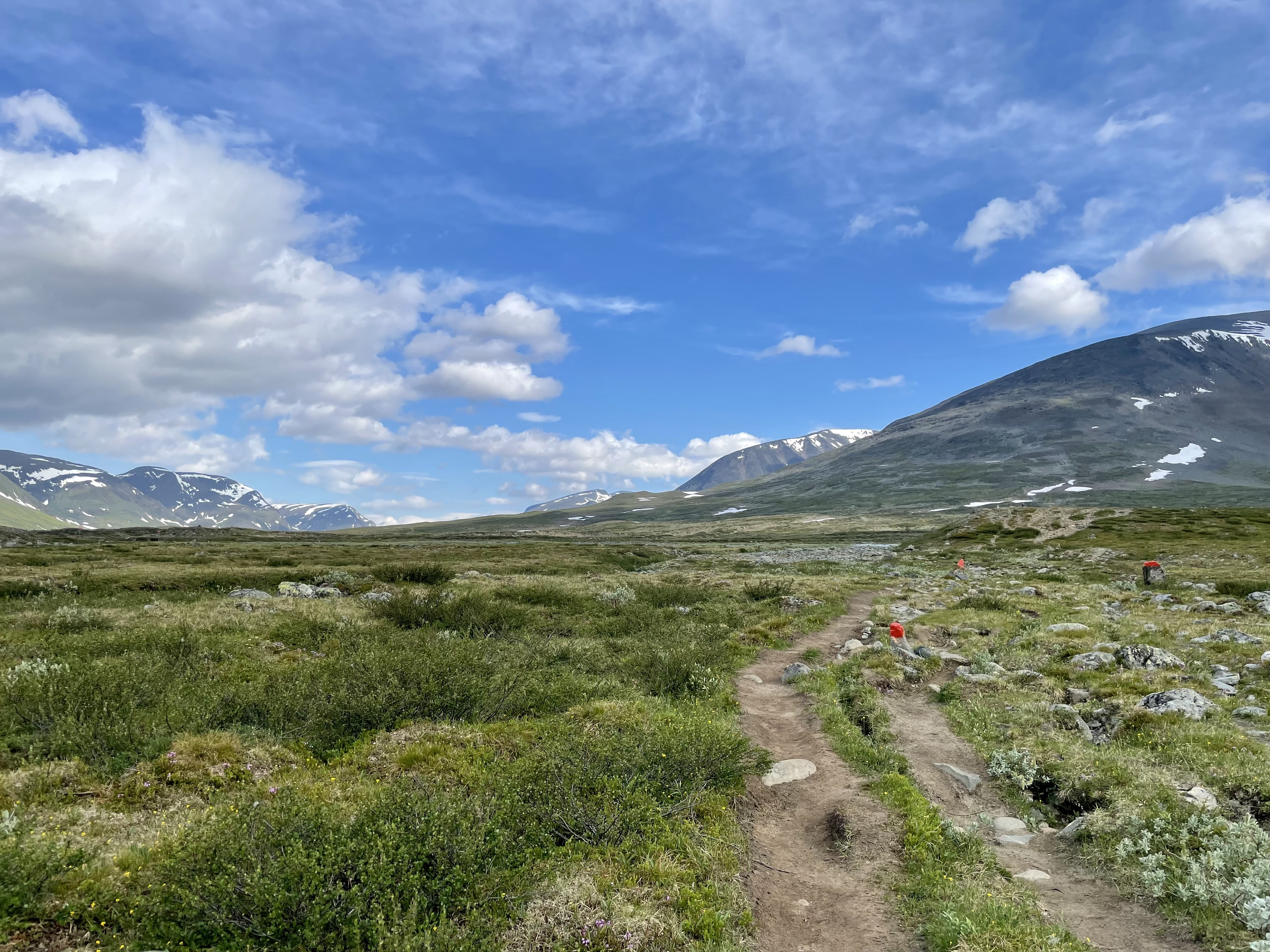
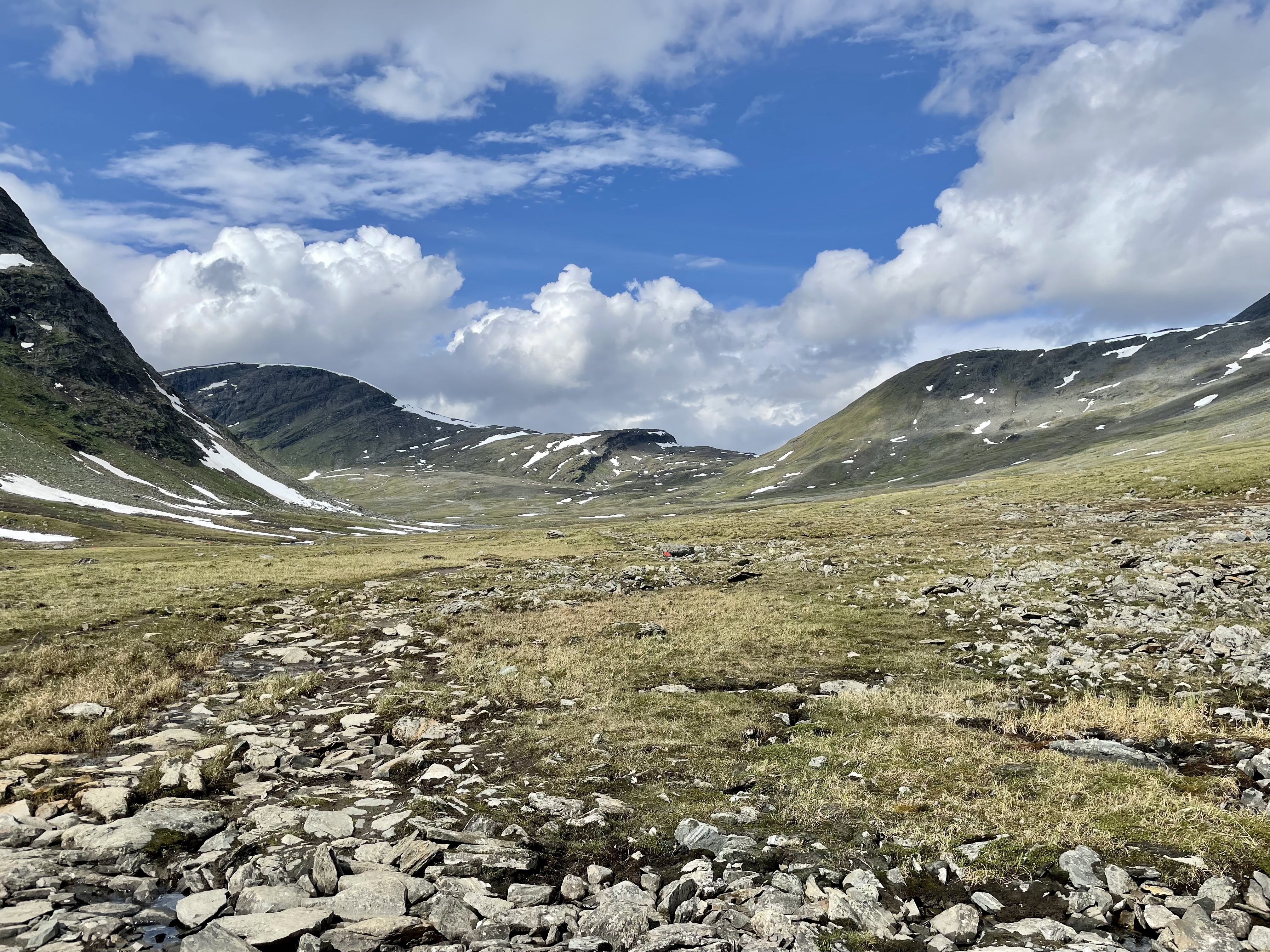
As the Tjäktjatjattja pass came closer, we slowly climbed up.
More of the valley
Shopping
Then we approached the first stop of the day, the Sälkastugorna. As always we reached the hut out of shop hours, but we were still allowed to shop. I found a new skippy peanutbutter jar <3
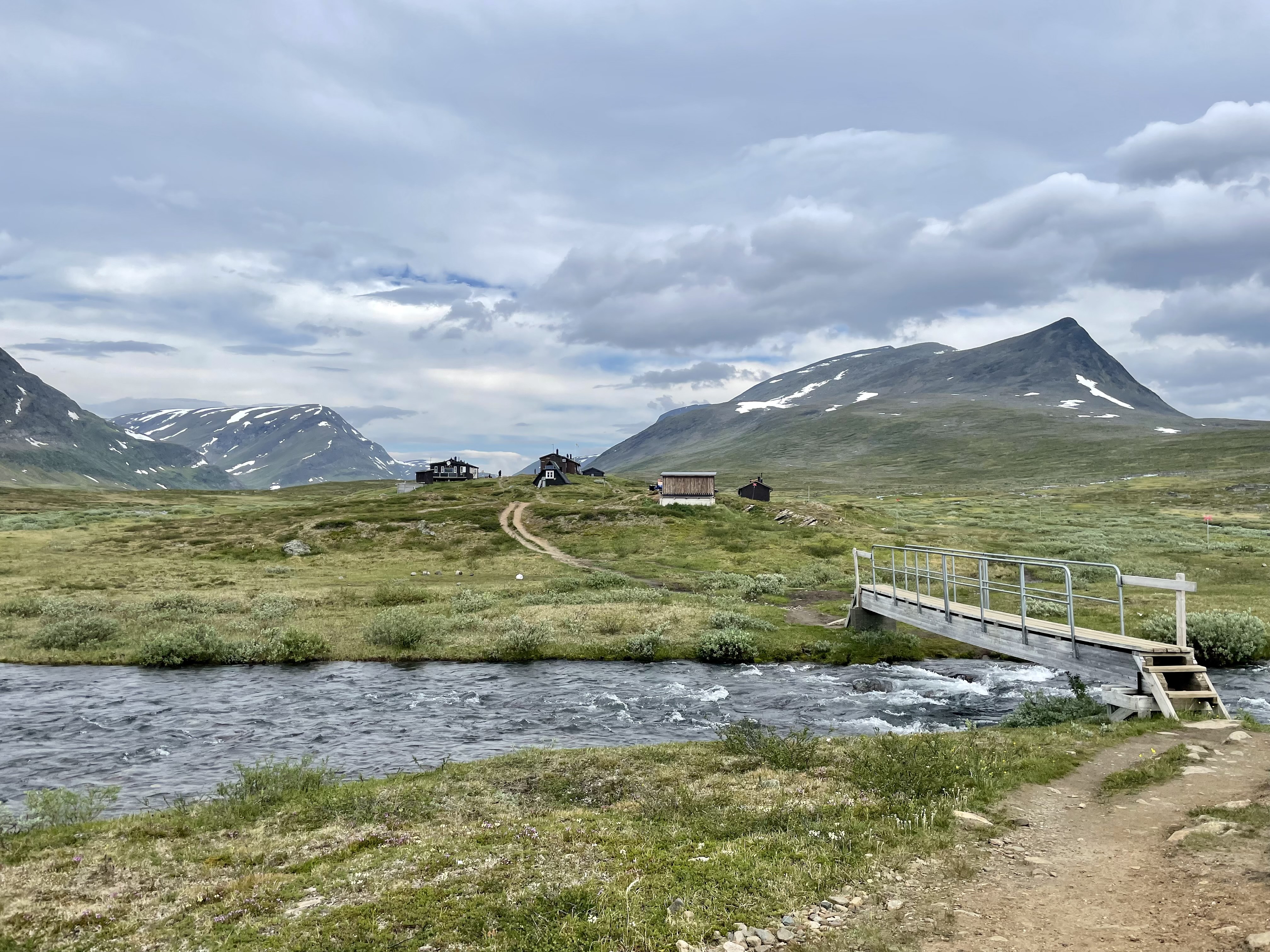
Sälkastugorna
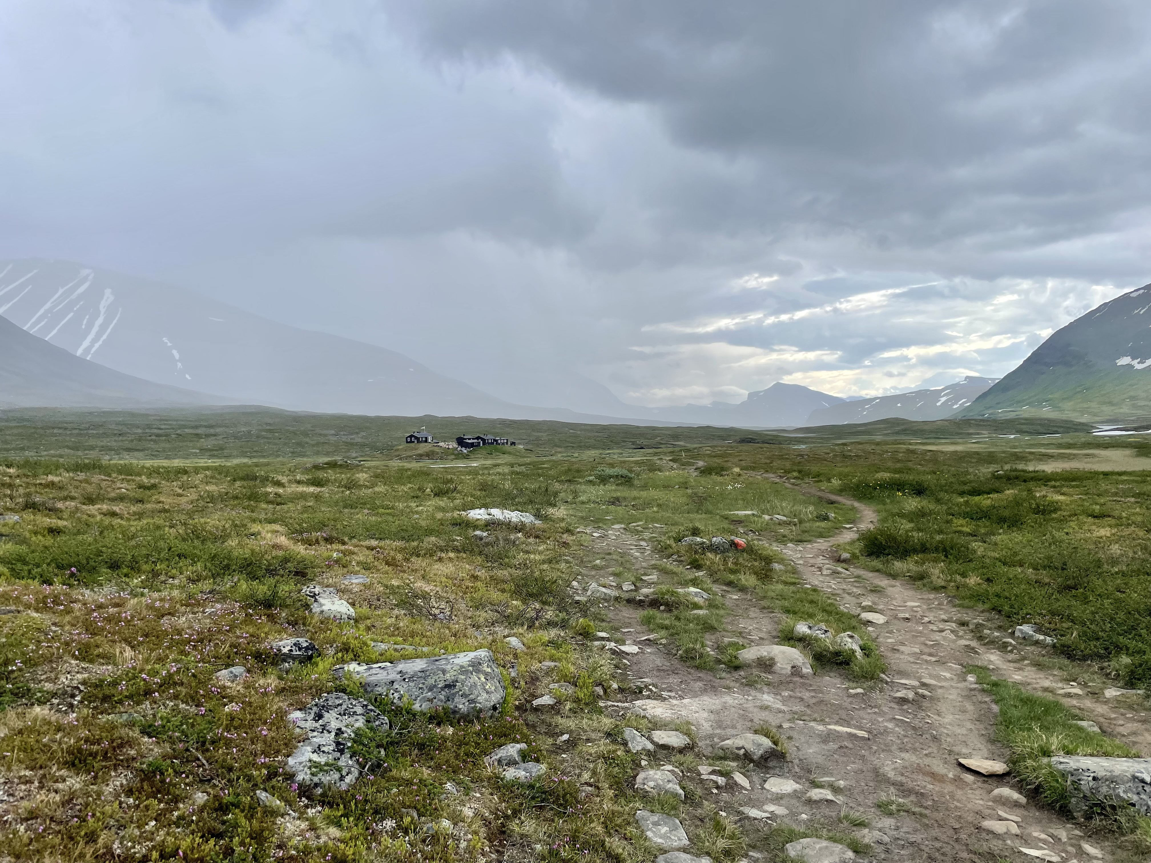
As we got ready to leave, a view back showed some rain behind us… we thought about waiting it out at the hut. But then decided against it.
View back from Sälkastugorna
After about 2 km from the hut the rain catched us. It was the second time in 17 days that we had rain. And it didn’t last long, maybe 15 minutes and the sun was back.
View back, shortly before we were caught by the rain
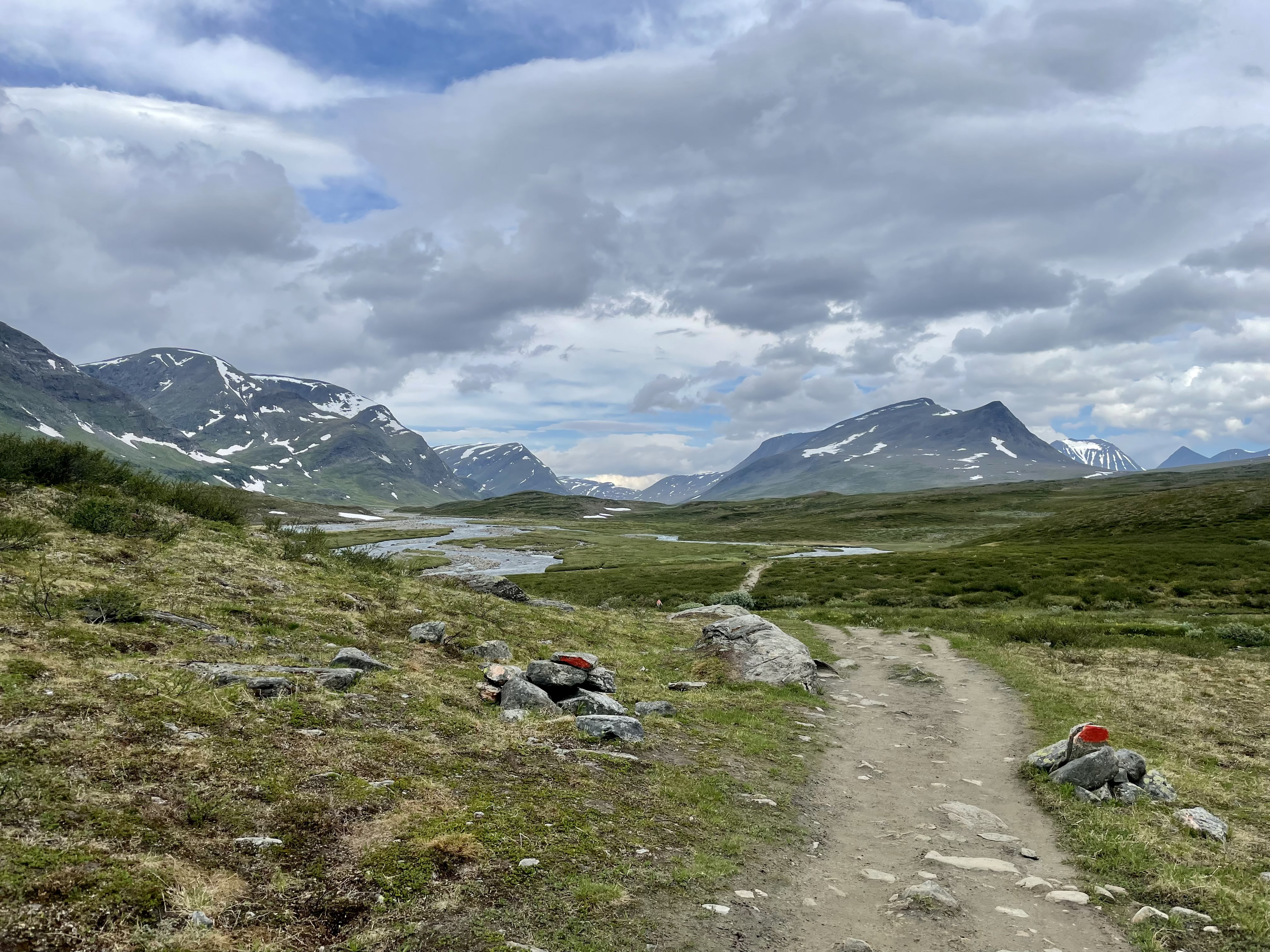
The pass
Finally we were able to see the pass, still a way to go!
View of the pass
Overall the climb wasn’t too bad, we expected worse. But there was one short part which was a bit crazy… no real way and extremely steep.
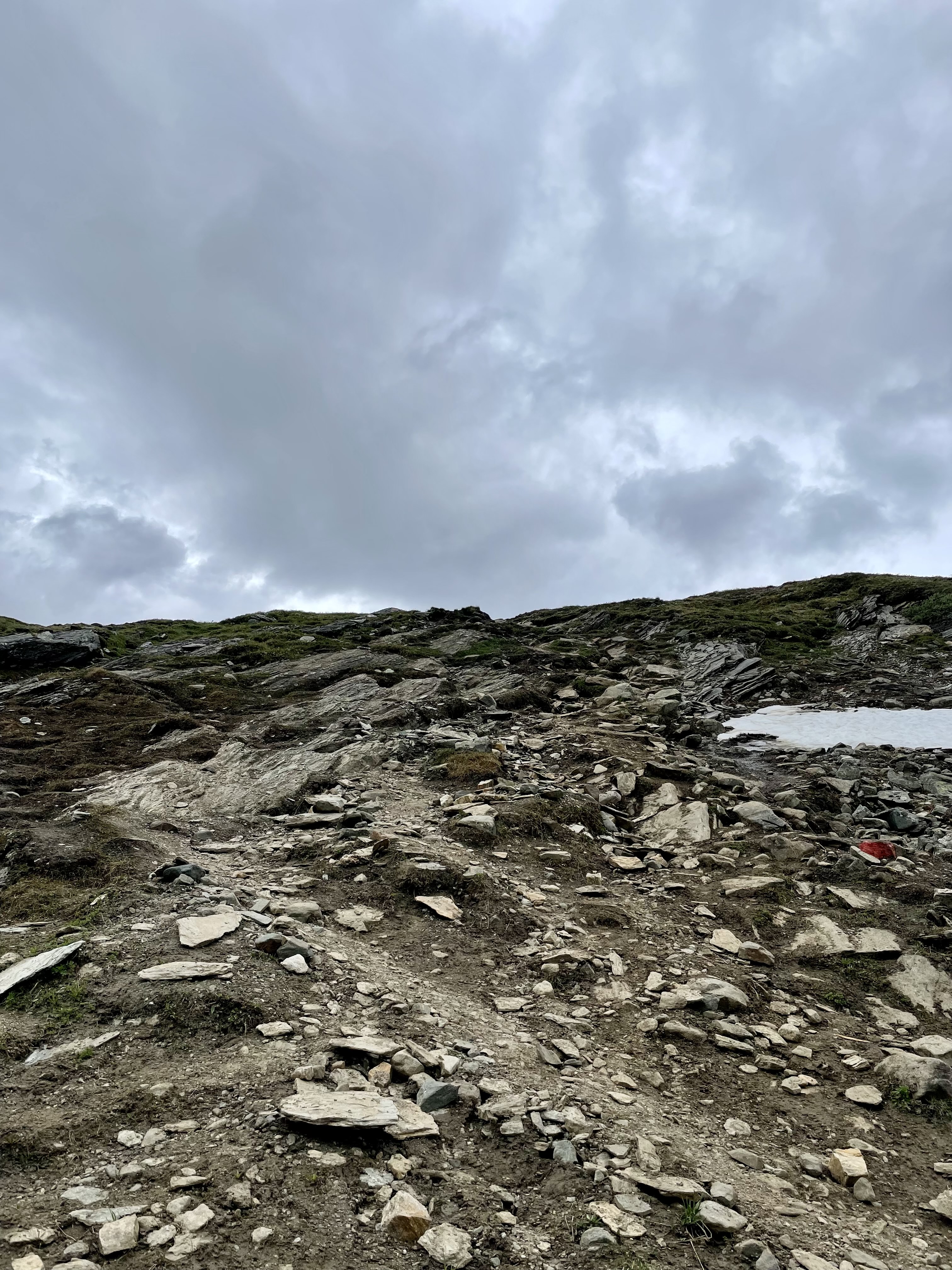
Steepest part of the climb to the pass
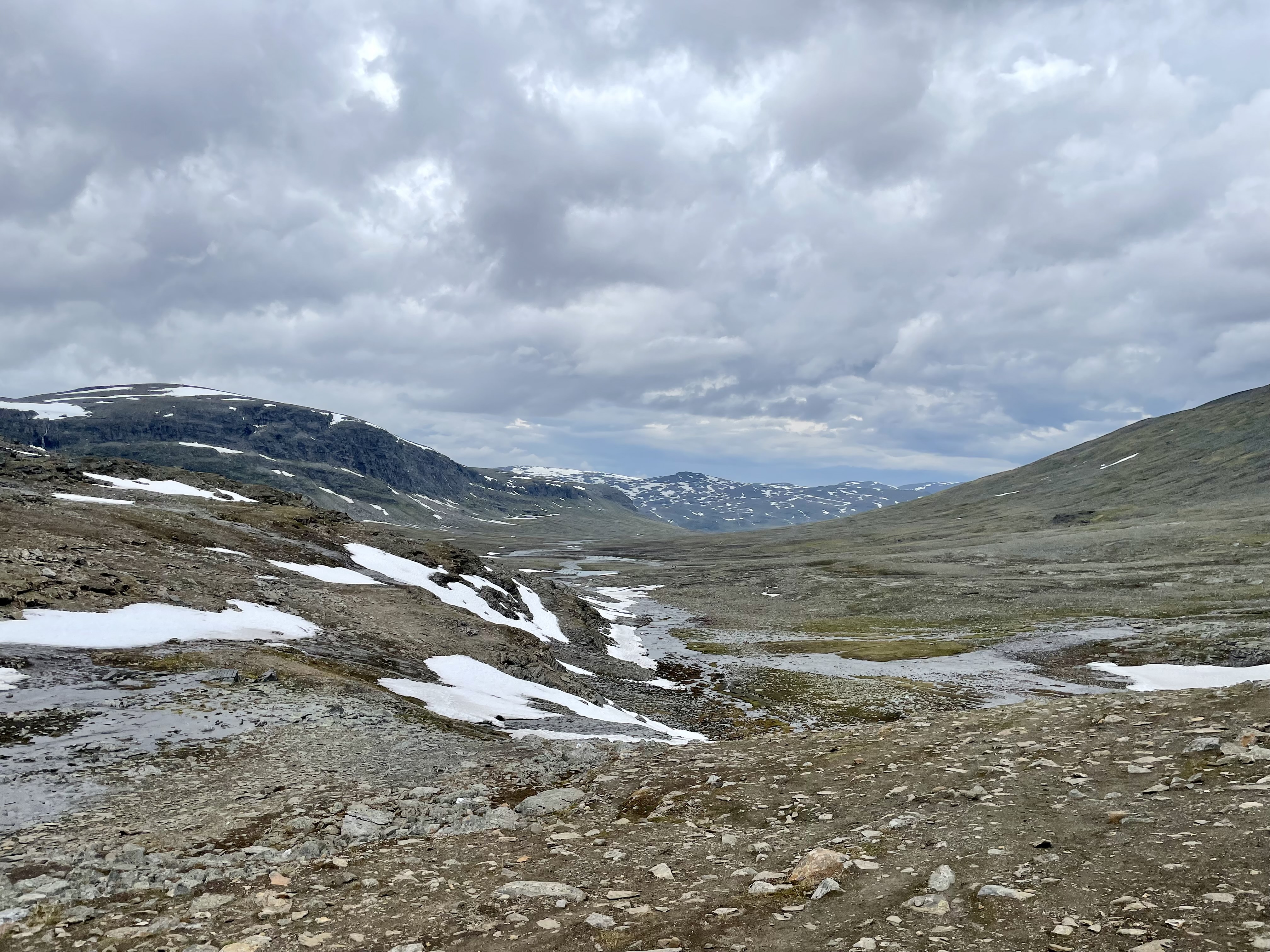
View back from the pass was incredible, full view of the valley through which we hiked for 2 days. The Tjäktjatjattja pass is the highest point of the Kungsleden with about 1150 meter over sea level. I can’t verify the information because we are offline for over 2 days now, but should be correct.

View back from the pass
Then it was time for second lunch, at around 3 pm. I had a Burrito filled with Skippy peanutbutter, trashy hiker food :)
Way down
We did a nearly hour long break in the hut, before we started our way down.
First view down from the pass
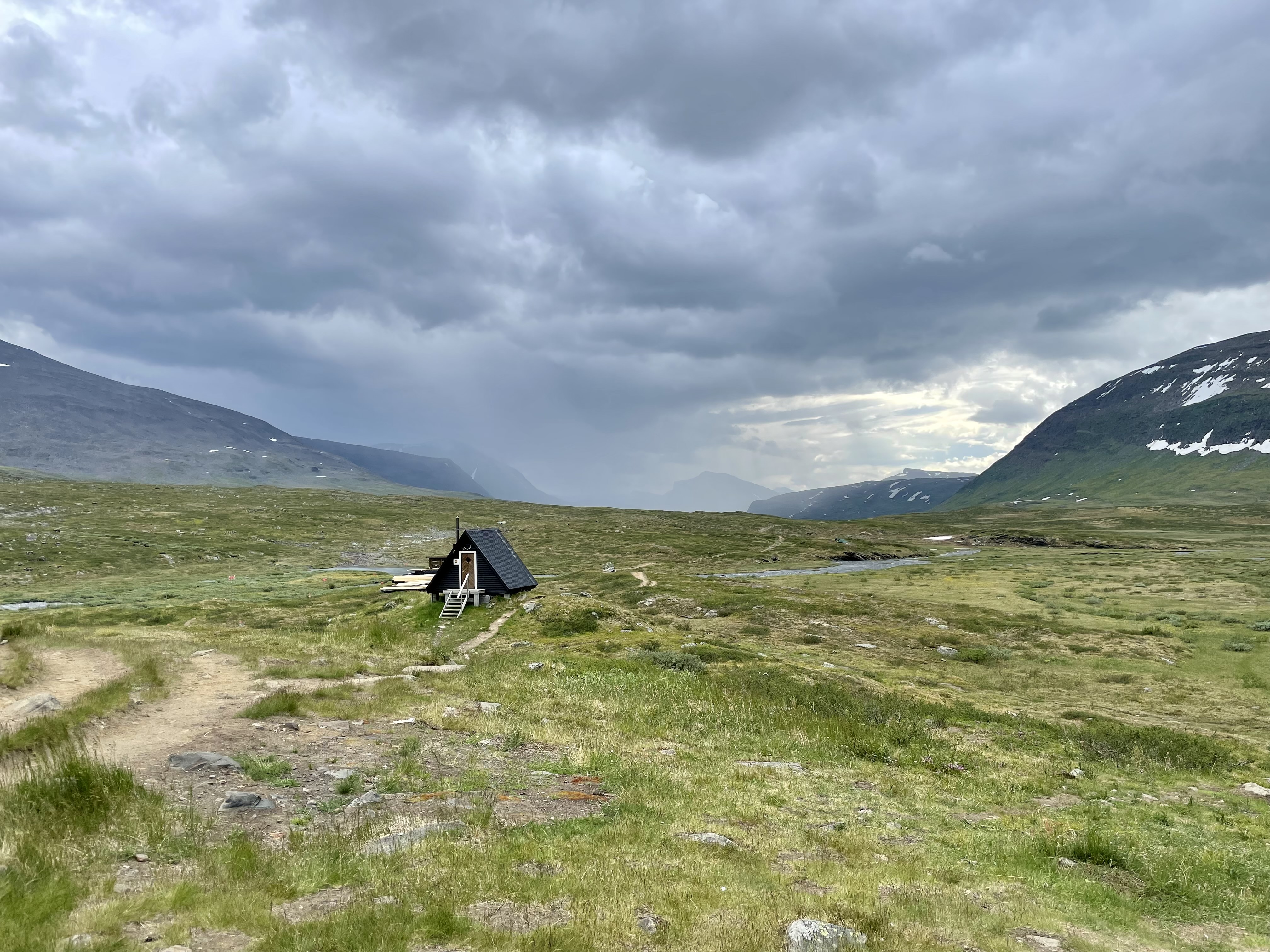
After around 3 km we reached the next hut, Tjäktjastugan. As it wasn’t directly on the trail we decided to skip it and eat dinner a bit later.
Minutes later it started to rain again and we regretted the decision :)
Rainy weather
Thankfully it wasn’t too bad and also didn’t lasted too long. There were also 2 river crossing without a bridge, so we had wet feet’s for the rest of the day.
We hiked for around another hour and then we setup camp (with Mathias). Rain pretty much stopped completely, so we decided to cook & eat outside.
For dinner I had veggie curry rice and I put it into a Burrito. Nice stuff! The burritos really grew on me during this hike, can be used with anything (or just by themself).
After that we went into our tent, it was only around 8 pm. So enough time left to read a bit :)
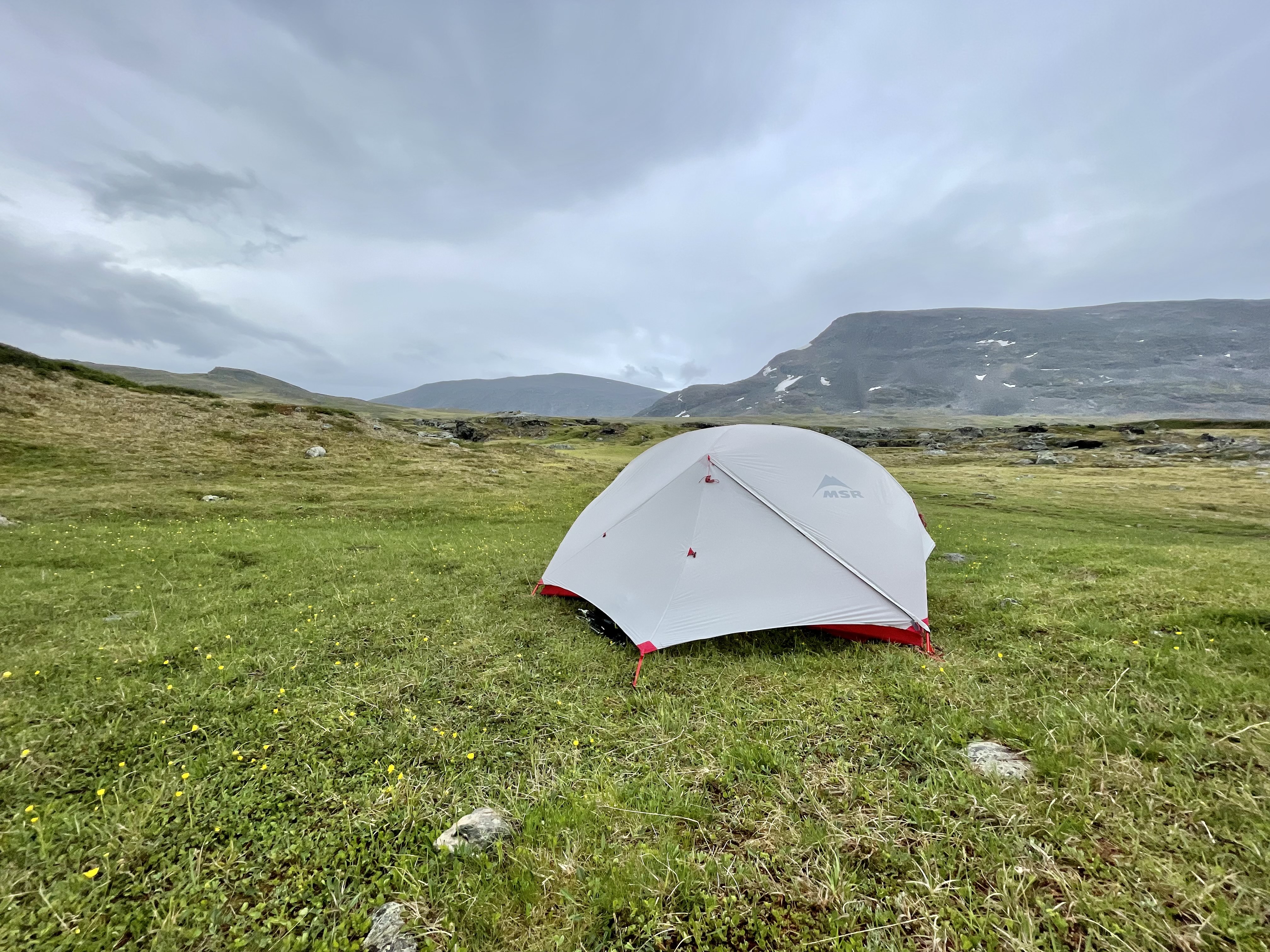
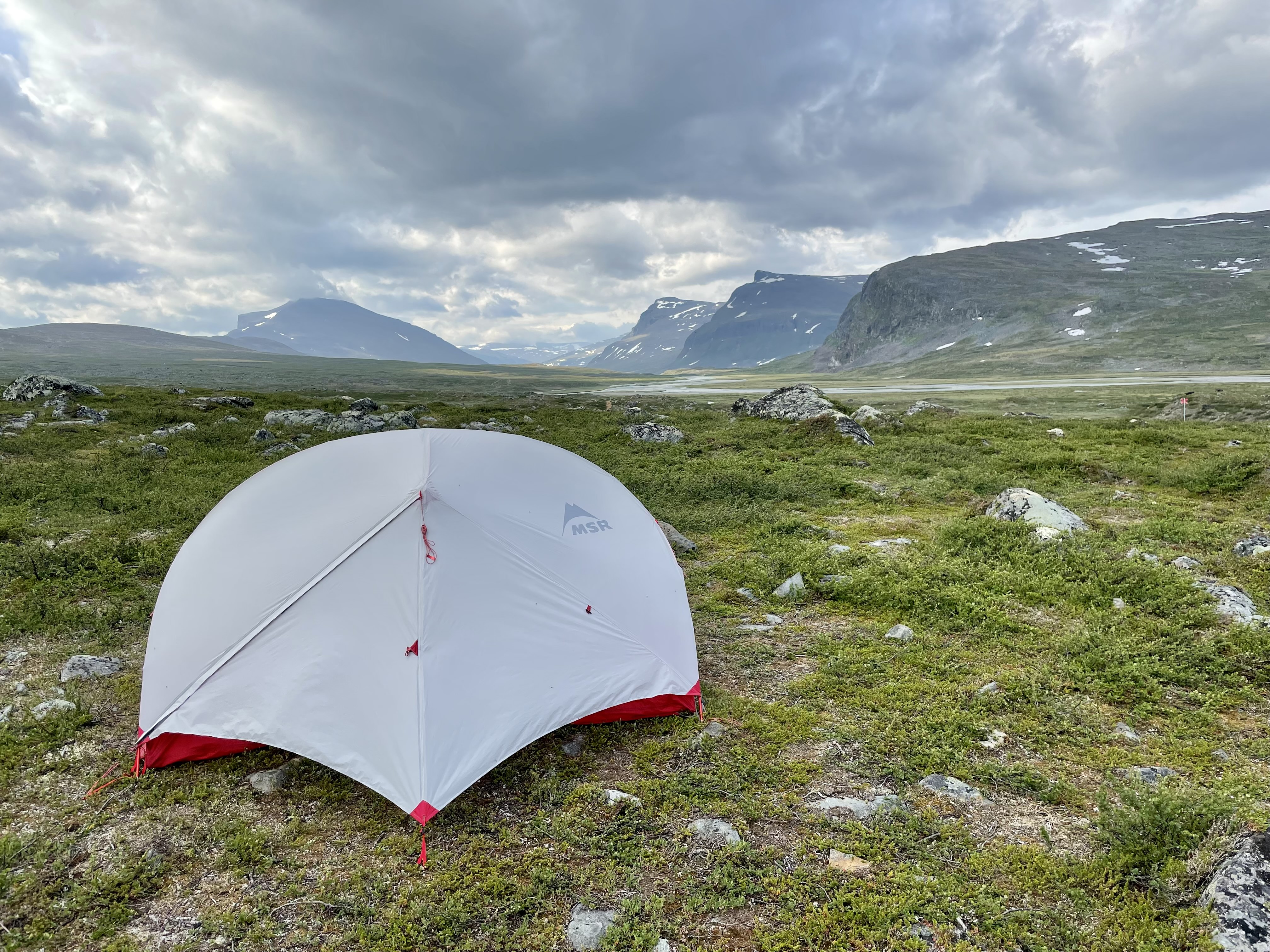
Tent on Day 17
Pictures
View into a side valley
Close to the pass
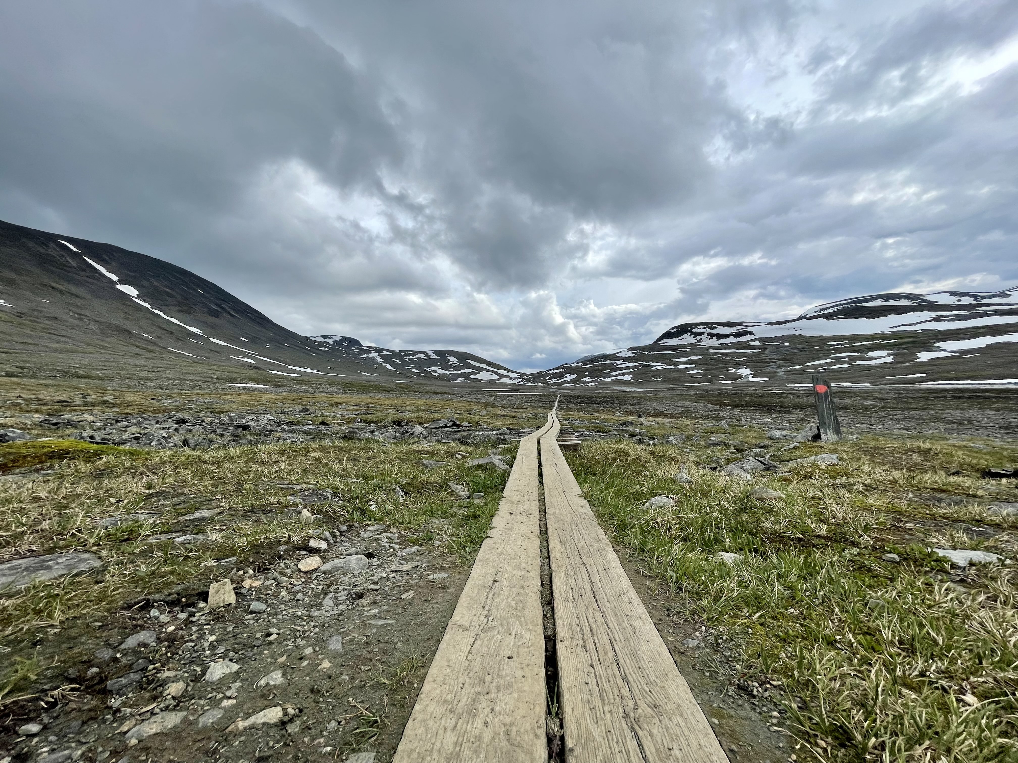
View back up the pass, wood autobahn
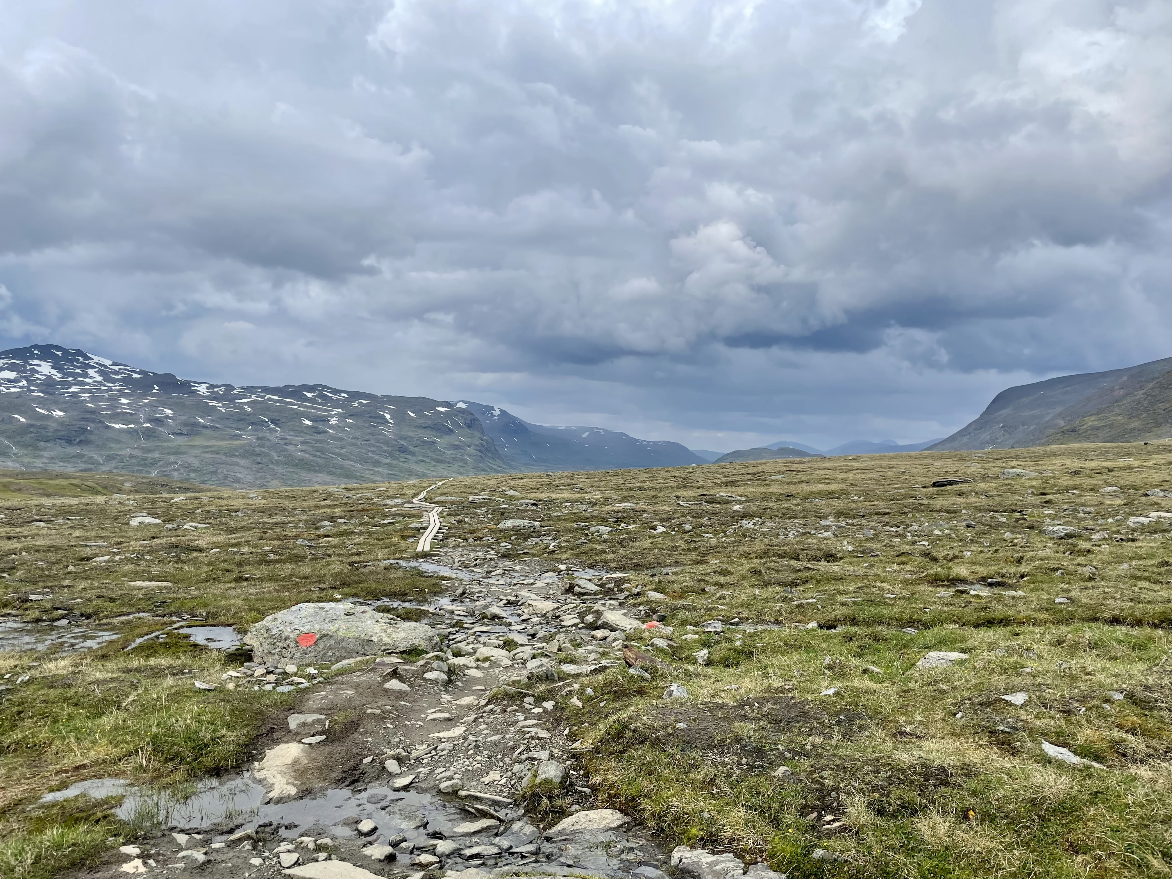
Way down