14. July 2026
Day 69: Tajikistan
Overview
Driving duration: 4:32 h
Distance: 102 km
Avg Speed: 23 km/h
Start: End of second lake
End: Artuch Basecamp
Night Location: 39°16'24" N 68°8'11" E
Tajikistan
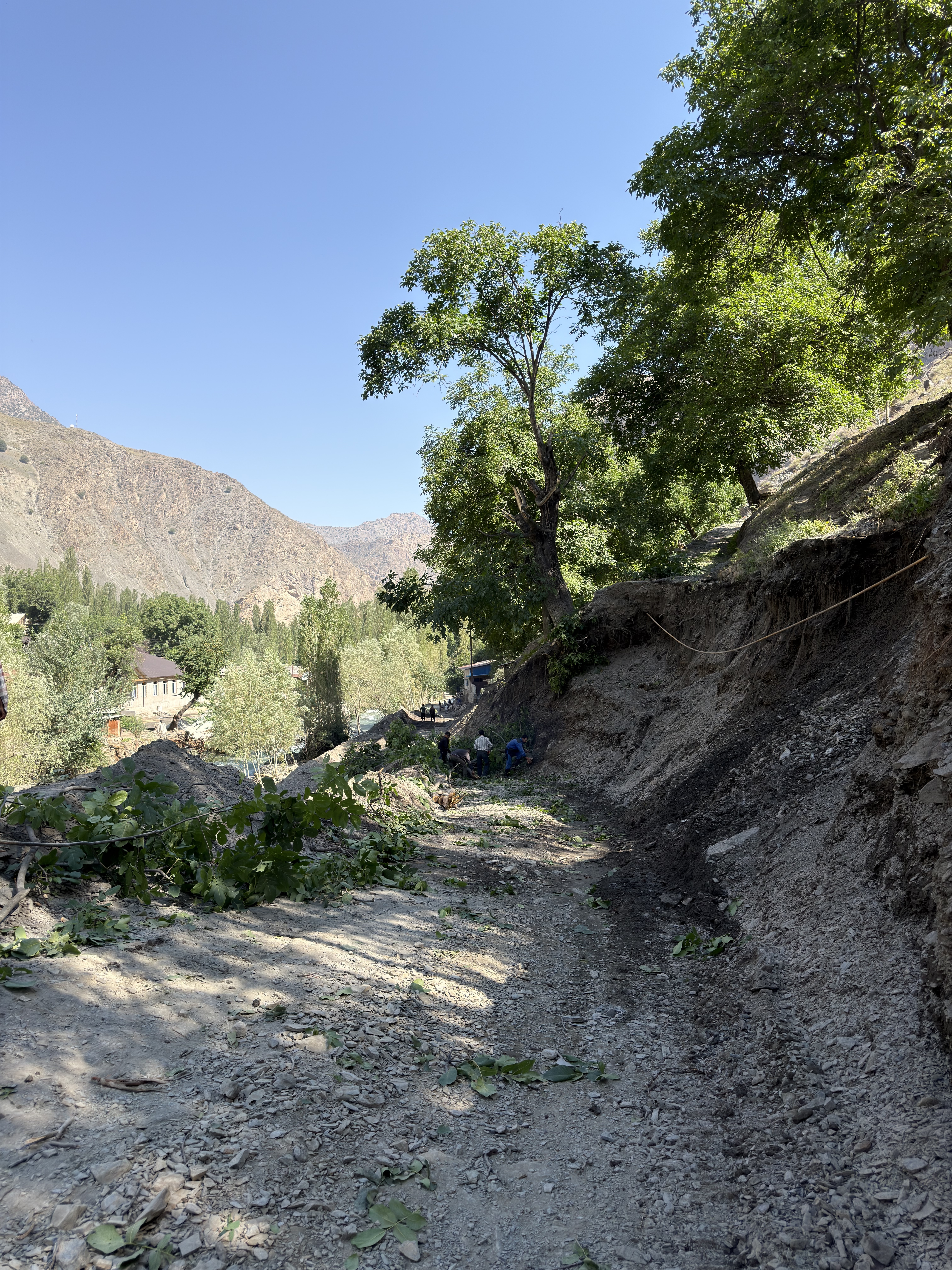
Another couple that was at the same spot left a little bit earlier to try to get through the destroyed crossing. A bit later they confirmed that the road is still open, so shortly after 09:00 we were on our way. Even before the critical part, we realized that there was more water, but it wasn’t an issue. When we arrived at the part of the road that was washed away, they were clearing some tree branches from the road. We helped clear the road and this made it a little bit faster (and gave me a good feeling). After that it was smooth sailing, all the way back to the paved main road.
From there we went first to a supermarket and stocked up a little bit and then also made a stop to top up the water. At the water point, we were surrounded by children who were all super happy and shouted “hello” and “welcome”.
After that we started the track towards Artuch Basecamp, another gravel road that leads to a remote valley from where you can hike. This was also the first thing we did after we arrived, a small hike up to a lake here.
Pictures
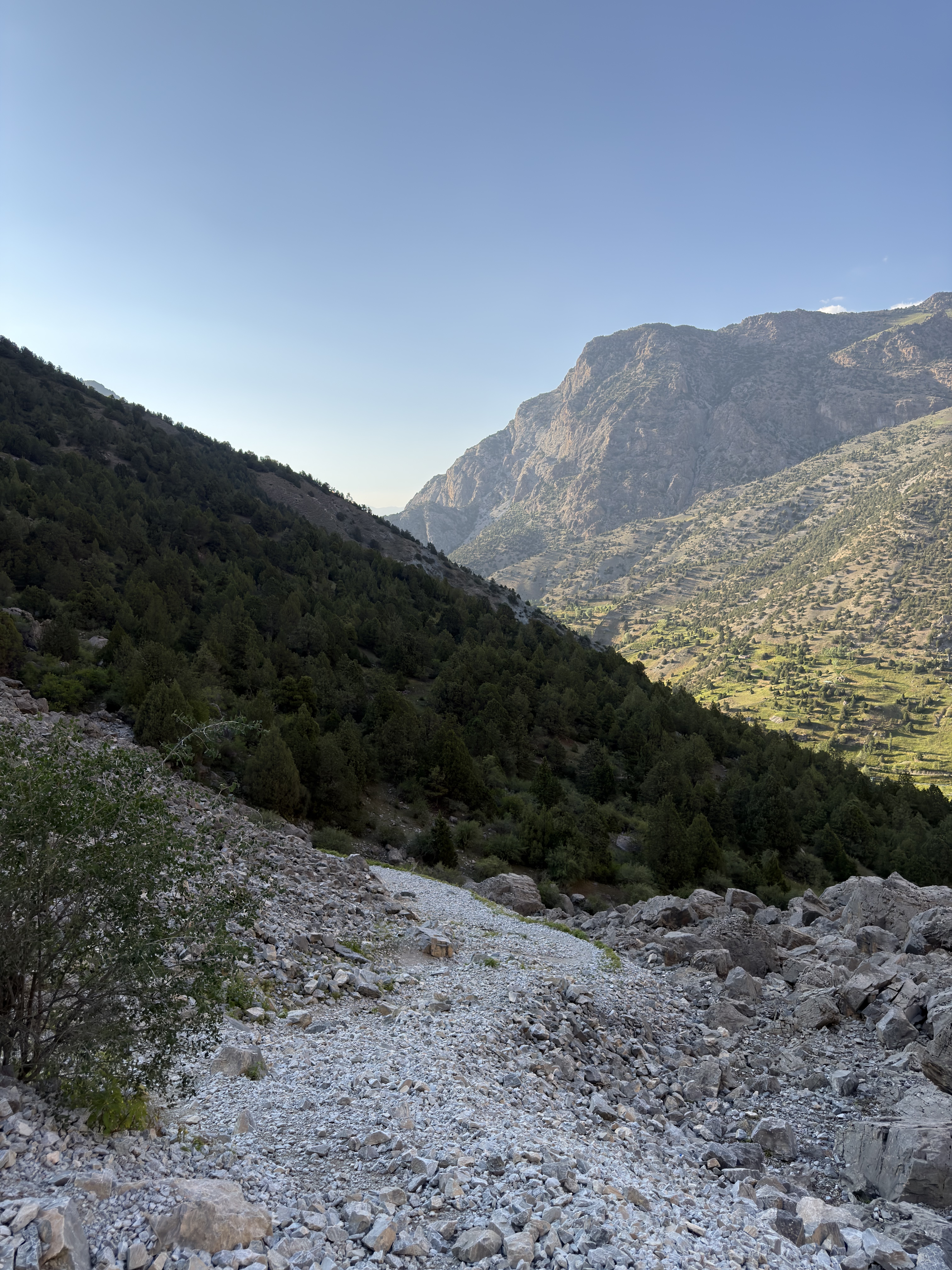
View of the hiking
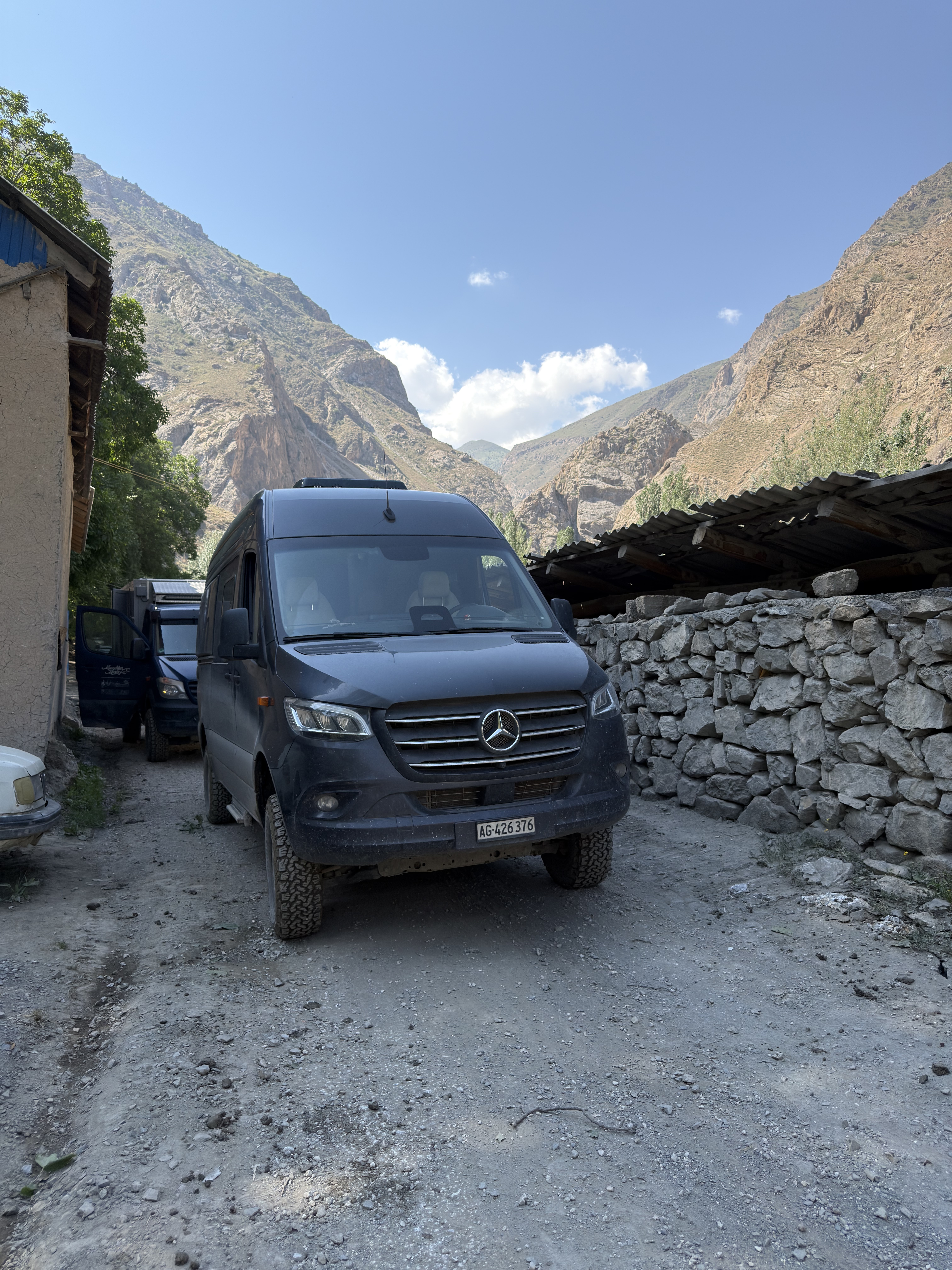
Waiting for the road to be clear